About Syria
Raqqa and Al-Hasakah: Starting Your Regional Research
Start Raqqa and Al-Hasakah research with clear geographic scope, dated photographs and place-name records before comparing evidence for specific homes.
In this article
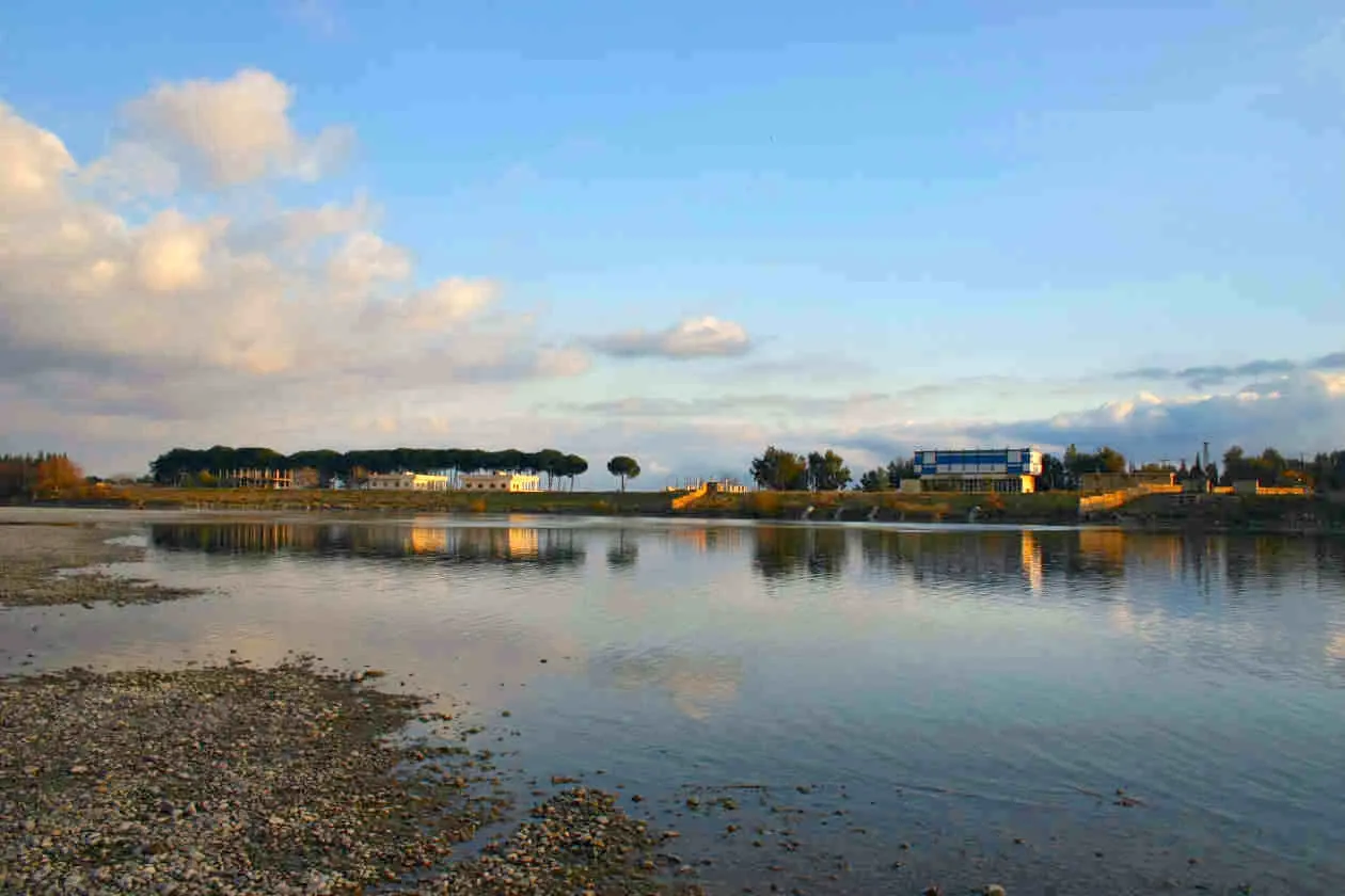

Start researching Raqqa and Al-Hasakah by deciding exactly which place each source describes. A city photograph, a governorate map and a report about several settlements can all be accurate while answering different questions. Keep two separate research files for the two locations, then narrow each file to the town or neighbourhood relevant to your household. This gives you a clearer starting point than a single folder labelled “northeast Syria.”
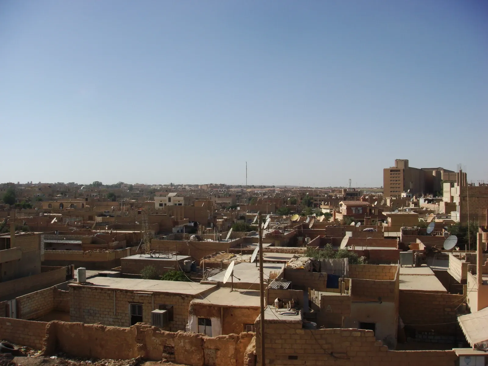
The purpose here is to build a useful regional reading habit before comparing homes. It is not a current travel, service or property-market assessment. The real photographs show two distinct settings at earlier dates: the Euphrates near Raqqa and the roofs of Tal Hajar quarter in Al-Hasakah. They help establish the scope of an image, not the present condition of a place you might consider.
First identify the level of geography
UNHCR's Syrian administrative map of 17 November 2020 labels Ar-Raqqa and Al-Hasakeh as separate governorates. The map helps locate the regions relative to the rest of Syria. Its legend and date matter: it represents administrative geography at a national scale, not a parcel plan, a current access map or an assessment of residential services.
Create a heading for each governorate, and a separate entry for each city or settlement you investigate. If a document says Al-Hasakeh without specifying the level, inspect the title, map legend and described study area before filing it. Do the same with Raqqa or Ar-Raqqa. An article covering several districts should remain at that broader level until a passage identifies the precise place it discusses.
This sounds like a small clerical choice. In practice, it prevents a photograph of one town or a statistic covering a wide area from being attached to an unrelated home. It also makes conversations with family more productive: everyone can point to the same place entry instead of using the same regional name with different meanings.
Keep Arabic names beside English spellings
For the locations discussed here, retain الرقة and الحسكة alongside the English forms provided by your source. Al-Hasakah, Al-Hasakeh and Hasakah appear in English records; Raqqa and Ar-Raqqa also appear. Use the variants to widen a document search, but preserve the spelling used in each original record.
Add the source's own neighbourhood or settlement name before trying to tidy it into a consistent English label. Ask a knowledgeable local contact to clarify unfamiliar names and record that explanation as a clarification from that person. A transliteration match is not enough to establish that two records refer to the same street, building or unit.
For documents about a potential purchase, the underlying address and property identification need separate checking. Our purchase document checklist provides a way to track those records without treating your research folder as legal verification.

Two photographs, two different questions
The river image is identified by its creator as the Euphrates near Raqqa. It was uploaded in April 2005, but the file record does not establish an exact capture date. Its water, low shoreline and buildings provide a particular riverside scene. They do not show every part of Raqqa, and they cannot establish that a proposed apartment has a similar outlook. The current source version also records a later brightness and colour adjustment; that should stay in the image credit.
The Al-Hasakah photograph, by Haitham Alfalah, shows Tal Hajar quarter in 2009 from an elevated viewpoint. Roofs, satellite dishes and adjoining building forms dominate the scene. It is a closer view of residential urban fabric than the river photograph, but it still leaves entrances, internal rooms and street-level movement largely out of sight. The source's exact day differs from the camera metadata, so this page identifies the year without choosing between them.
Read each image for what is actually visible. Then ask a different follow-up: for the Raqqa image, which viewpoint relates to the proposed home; for the Al-Hasakah image, where the entrance sits within the visible neighbourhood. Comparing the photographs as if they were competing descriptions of entire governorates would lose their most useful detail.
Give every source a coverage note
Beside a saved report, write a single sentence describing its coverage. For example: “National administrative map, dated 2020; useful for governorate orientation.” An archive photograph might read: “Named quarter, image from 2009; roofs visible, interior condition unknown.” These notes state what the evidence supports before an appealing headline or picture shapes your expectations.
Add the publication date and, where supplied, the observation or capture date. A document uploaded recently may contain older fieldwork. A photograph uploaded in 2005 may have been taken earlier. Keep those dates distinct rather than giving every item the date on which you found it.
The method applies equally to news about a public project. Find the named project area and the stage reported before linking it to a particular address. A regional announcement alone does not establish which building benefits, when work is complete or how household services operate there. Leave those address-specific questions open until supporting evidence arrives.
Compare research readiness before comparing homes
Suppose your Raqqa file contains a named neighbourhood and dated entrance photographs, while your Al-Hasakah file contains only a governorate-level description. That imbalance does not make one region better. It means the two files are not ready for the same property comparison. Request the missing location evidence before giving either option a score.
For each candidate, write the household reason for considering that exact place: proximity to a named family address, a work destination or another confirmed need. Record who can help investigate the building and which facts still require independent review. Our guide to building a property shortlist can then hold the actual homes under consistent criteria.
Keep regional reading in this About Syria section and use the property comparison sheet for the offers themselves. Once each file identifies a place, its dated evidence and its unanswered questions, your next request becomes specific enough for someone to answer. That is a practical outcome of regional research even before you have chosen a home.
Continue your research
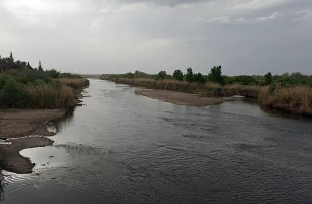
Deir ez-Zor and the Euphrates: Geographic Context
Locate Deir ez-Zor through dated river photographs and urban research, then separate geographic context from the address and access evidence a home needs.
Read more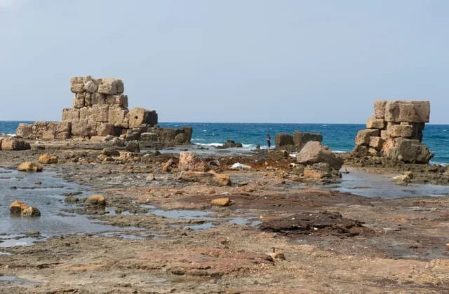
Arwad: Understanding the Island and Its Mainland Connections
Understand Arwad through dated island photographs and heritage sources, with practical questions about mainland connections and a specific home.
Read moreSources & review
Last reviewed:
PUT YOUR RESEARCH TO WORK
Start with a place.
Explore Syria’s cities and narrow your property search.