About Syria
Homs Governorate: Separating City and Regional Research
Separate Homs city from governorate research with clear place names, dated regional photographs and practical ways to check the scope of your sources.
In this article

“Homs” may appear in a photograph caption, a housing report, a family description of an address or the heading of a property search. Before collecting more information, establish what the name means in that particular source. A discussion of Homs city does not describe every place in Homs Governorate, and a governorate heading does not locate a home within the city.
The difference is practical. If you want to understand an address, you need more than a regional name. If you want to compare reports, you need to know whether they describe the same territory and people. Start by separating those two jobs, and your research will be easier to follow when different spellings, old photographs and broad headlines begin to accumulate.
Ask what the report actually studied
A useful example comes from the UN-Habitat and UNHCR report on housing, land and property issues of Syrian refugees in Lebanon from Homs city, dated November 2018. Its introduction explicitly distinguishes Homs city from the larger Homs Governorate containing it. The study concerns a defined refugee population in Lebanon; its survey belongs to a particular period.
That makes the document useful for learning to read a study's scope. It does not make its findings a current survey of all households, homes or transactions across the governorate. Record the title, date, geographic definition and population studied before taking a number out of context.
When a search result shortens the title to a few words, open the document itself. Look for the sentence that explains who or what was included. A precise source can become misleading when its label is copied into a broader claim.
Start a place-name record, not a list of assumptions
For an address outside the city, ask for the settlement name first. Then ask how the wider area is described locally. Preserve the original Arabic spelling alongside any English transliteration supplied. The aim is to recognise the same place across different records, rather than treating one English spelling as the only possible form.
Keep names at different levels on separate lines. The governorate, a named town or village, and the immediate address each contribute different information. Do not fill an empty line with a guess based on the nearest well-known city. Where a name is ambiguous, ask for a map position or a clearly identified landmark that can be checked.
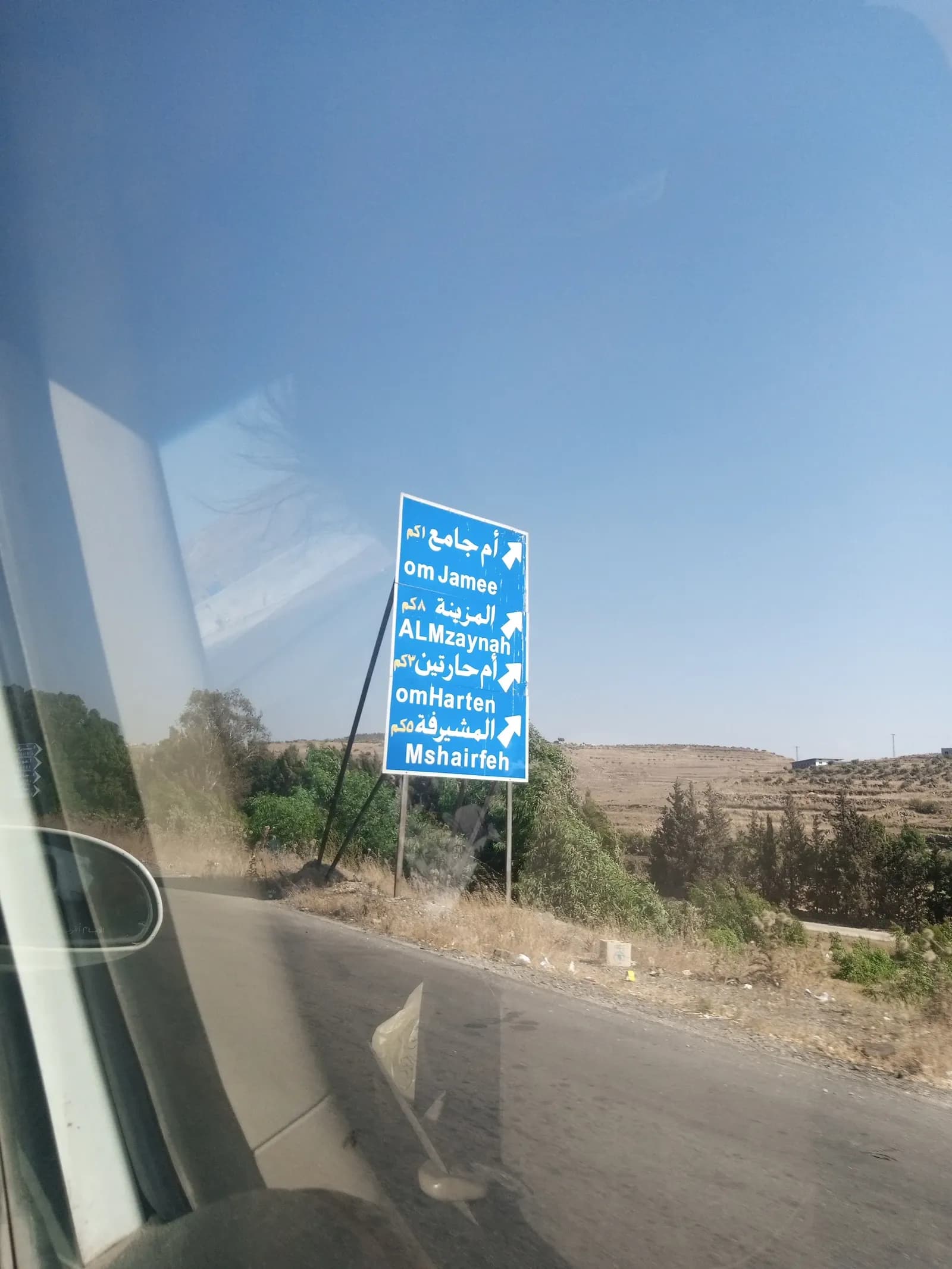
The road-sign photograph in this article offers a concrete example. Hayan Alhasan's July 2024 image was taken just east of Umm Jamee Bridge on the Homs–Tartus Highway in the western countryside. Its blue sign names several destinations in Arabic and English. The different lettering is useful visual context for place-name research; the photograph does not establish a present route, travel time or property address.
Let regional photographs widen the view
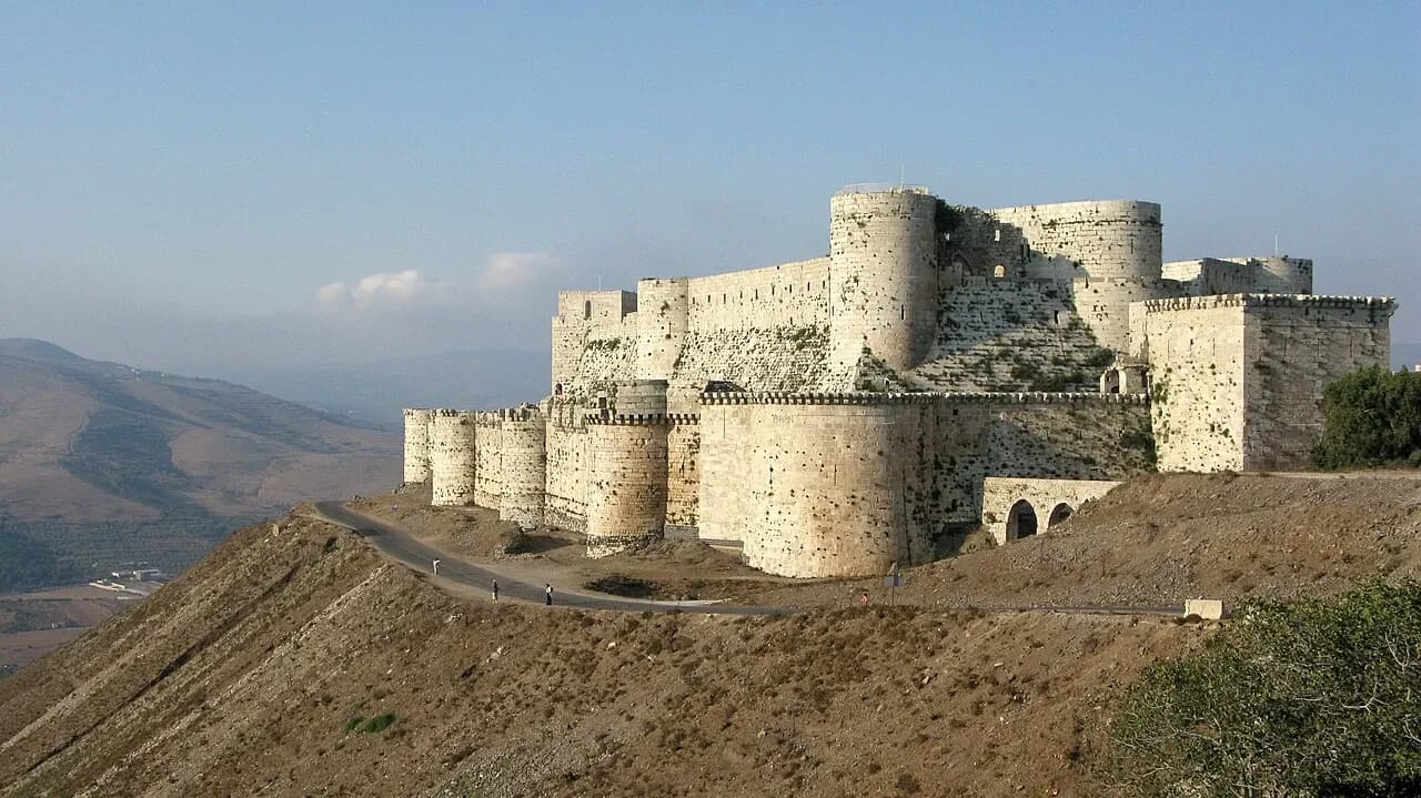
The other photograph shows Crac des Chevaliers and the surrounding hills in August 2008, photographed by Vyacheslav Argenberg. It gives this page a rural architectural setting distinct from a city street. The stone fortress is an identifiable heritage landmark, not an example of an available home.
UNESCO's record for Crac des Chevaliers and Qal'at Salah El-Din describes a serial World Heritage property comprising two castles. Read the record for its heritage purpose. A combined World Heritage title should not be treated as the name of one neighbourhood or as a statement about the whole governorate's housing.
These two images work at different scales: a landmark in its landscape and a roadside sign pointing towards named settlements. Their dates and credits are part of their meaning. Neither is a present inspection of the locations or evidence that a visit can be made under particular conditions.

Separate a city comparison from a regional comparison
When comparing possible places to live, write down the daily task behind each preference. “Near Homs” may really mean reaching a particular workplace, meeting relatives, or being able to attend appointments. Those are different needs, and each calls for a precise destination rather than an approximate regional label.
For a city address, our Homs guide for first-time property researchers helps organise street and building observations. For a wider search, begin with the settlement and the reason you are considering it. Ask how you would check the relevant journey using current information appropriate to the proposed date, without assuming that a road shown in an archive photograph is enough.
Keep the building comparison separate too. A larger regional search does not make floor plans, entrances or service arrangements comparable automatically. Define the essentials for the household, then use the same questions at each actual address. You will learn more from a few clearly located candidates than from a long collection of places described only as “Homs.”
Read heritage and housing sources for their own purpose
A heritage record can explain why a named site matters historically. A city assessment may describe conditions during an earlier research period. A recent photograph may show a particular scene without explaining ownership or building performance. Each can contribute something, provided you keep its purpose attached.
For another example of reading a historic place carefully, our Palmyra archaeological guide separates archive views, urban form and dated condition reporting. The same habit helps when a familiar landmark becomes the visual shorthand for a much wider region.
If a report discusses damaged housing, land claims or displaced households, avoid turning that into a transaction rule. A proposed purchase needs advice addressing the actual property and the parties involved. The regional reading stage helps you frame questions; it does not resolve a specific legal case.
Build a shortlist with geography visible
Give each candidate its own location note. Include the settlement, the immediate access description, the source of the address and any unresolved spelling or map question. Attach dated observations to that candidate rather than storing them in a shared folder labelled only “Homs.”
Our property shortlist guide explains how to keep the comparisons manageable. Add a scope column to it: city address, another named settlement, or location still unconfirmed. That small distinction exposes gaps early. Once the location is clear, you can investigate the particular home on its own evidence, with the regional landscape providing context around it.
Continue your research
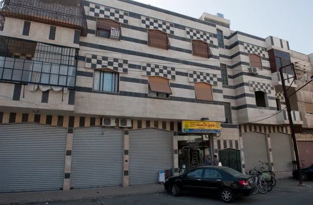
Homs: A City Guide for First-Time Property Researchers
Explore Homs through its streets, dated architecture photographs and urban research, then build an address-specific brief before comparing potential homes.
Read more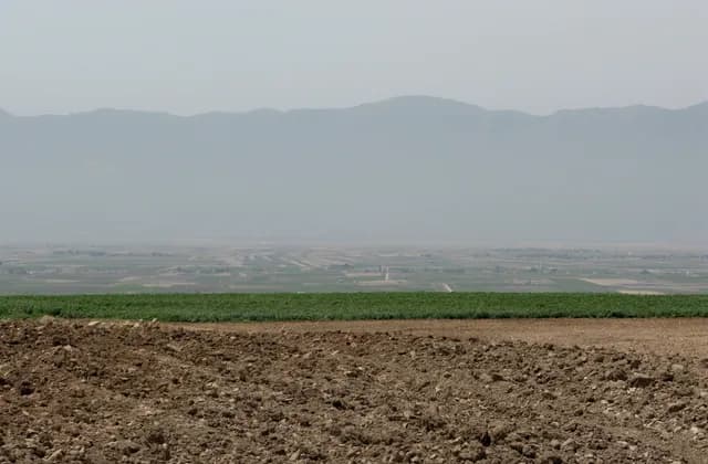
The Orontes Valley: Reading Central Syria Geography
Read the Orontes Valley through basin maps, dated landscape photographs and clear geographic scope before researching a specific place in central Syria.
Read moreSources & review
Last reviewed:
PUT YOUR RESEARCH TO WORK
Start with a place.
Explore Syria’s cities and narrow your property search.