About Syria
Syria by Region
Regional research gives a property search a useful shape. It helps you distinguish a city from its wider governorate, identify the landscape around a place and decide what to investigate next. It works best as orientation, followed by precise questions…
Read more
about an address. This section brings together that broader setting while keeping historic places, present-day observations and individual property evidence clearly identified.
A region name can be a comfortable starting point, especially when family connections or an older memory guide your search. It can also hide distance and variation. Someone who says they are looking in Homs may mean the city, a town elsewhere in the governorate or a rural address. Two people using the same regional label may have entirely different locations in mind. Before discussing a shortlist, write the settlement name and the intended type of setting: an urban street, a smaller town, or a particular village. Then obtain an exact address when a candidate property appears.
Our regional organisation is an editorial way to browse. It does not create an administrative boundary, certify a market area or imply that every place within a group shares the same conditions. Central Syria, the coast and eastern Syria are useful headings for readers seeking an overview. Official records and an accurately identified location are needed when the distinction affects a property decision. Keep the country, governorate, settlement, neighbourhood and building reference as separate fields in your notes rather than placing everything under one city label.
Start with landscape questions that affect your intended routine. Where is the settlement in relation to the places you need to reach? Does an advertisement describe a location in the centre, on an urban edge or outside the city entirely? What route would you use to reach the entrance? Ask for a dated account of that actual route. A regional map can help organise these questions, but a line on a map cannot confirm present access, travel time or the condition of the last stretch of street. Investigate those details with current local evidence.
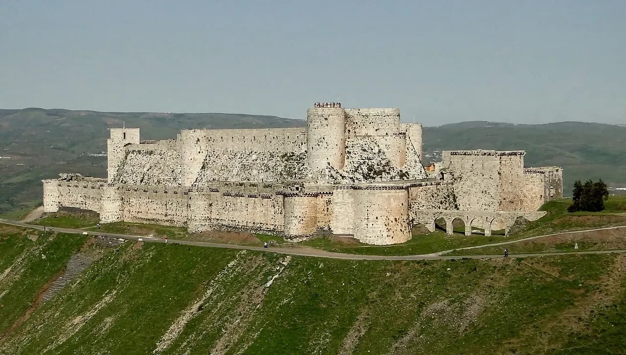
Historic sites offer another way to understand a region without treating it as a catalogue of homes. UNESCO's record for Crac des Chevaliers and Qal’at Salah El-Din describes a World Heritage property comprising two castles. The accompanying archive photograph here shows Crac des Chevaliers in 2010, including its stone fortifications and landscape setting. It is cultural context for regional reading. It is neither an available property nor a claim about the present condition of nearby buildings, visitor access or permissions to carry out works. Source: https://whc.unesco.org/en/list/1229/.
Likewise, UNESCO's Site of Palmyra record concerns an archaeological place and its significance. It should not be used as evidence for a separate home or as an endorsement of investment around a landmark. When a listing borrows a monument's name, ask what physical relationship it actually claims: in the same settlement, visible from the building, or simply in the wider governorate. Establish the address first, and have the relevant local professionals examine property-specific records and any restrictions that may apply. Source: https://whc.unesco.org/en/list/23/.
The difference between a regional overview and a neighbourhood account is visible in UN-Habitat's older research on Homs. Its May 2014 city assessment and subsequent Old City profile worked at different scales, considering housing alongside services and the wider urban system. These reports help explain how evidence can be organised, but their historic findings cannot describe conditions at every current address. When using a dated report, record its purpose and period, then identify the present-day question you still need answered. Source: https://unhabitat.org/city-profile-homs-multi-sector-assessment.
Photography requires the same care. Every location image in this section should carry a named place, a creator, rights evidence and a capture date when the source supplies one. Older photographs can reveal architectural details or a landscape relationship. They cannot establish current traffic, functioning services, neighbouring uses or buildings available to buy. If a photograph is essential to your decision, request a current view tied to the precise address and retain who supplied it. Avoid confusing the date an image was uploaded or forwarded with the day it was taken.
For an initial comparison between regions, choose a small set of questions relevant to your household. Family proximity, access to regular destinations, the kind of home you need and who could assist with local checks may matter more than a broad reputation. Keep prices out of a regional comparison until you have comparable, dated property evidence. Advertised figures can describe different sizes, condition, rights, contents or currencies; a regional average invented from a handful of listings would conceal those differences. Use a full purchase budget only once you have an identifiable candidate and appropriate advice.
You can move from this regional section to our published city guides when you need a closer view of Damascus, Aleppo or Homs. The Investment Handbook then helps turn the location notes into a property brief, a shortlist and a viewing record. Each stage should reduce one kind of uncertainty. A place guide explains the setting, a current visit or verified local account explains the approach, and independent building and document checks address the proposed home itself. Keeping those stages connected makes the research useful without asking regional content to answer questions it cannot resolve.

Coast and East
Coast and East brings together two different directions for researching places in Syria: coastal settings and locations farther inland to the east. It…
Explore this topic ↗Central Syria
Central Syria is a useful starting point for readers researching Homs, Hama and their wider surroundings. This section connects city streets, the Orontes…
Explore this topic ↗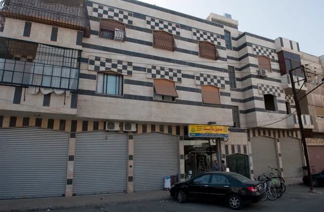
Homs: A City Guide for First-Time Property Researchers
Explore Homs through its streets, dated architecture photographs and urban research, then build an address-specific brief before comparing potential homes.
Read more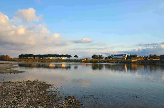
Raqqa and Al-Hasakah: Starting Your Regional Research
Start Raqqa and Al-Hasakah research with clear geographic scope, dated photographs and place-name records before comparing evidence for specific homes.
Read more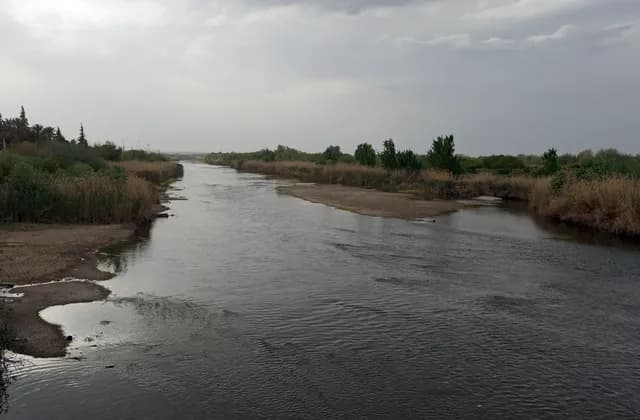
Deir ez-Zor and the Euphrates: Geographic Context
Locate Deir ez-Zor through dated river photographs and urban research, then separate geographic context from the address and access evidence a home needs.
Read more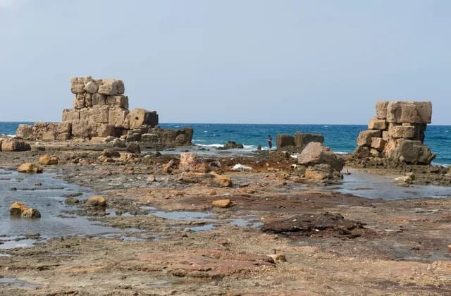
Arwad: Understanding the Island and Its Mainland Connections
Understand Arwad through dated island photographs and heritage sources, with practical questions about mainland connections and a specific home.
Read more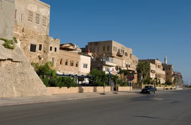
Tartus: The Waterfront and Historic City
Explore Tartus through historic stone frontages and dated waterfront photographs, then identify the address and evidence needed to research a particular home.
Read more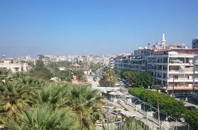
Latakia: A Guide to the City and Its Coastal Setting
Explore Latakia through dated city and harbour photographs, distinguish sea views from waterfront access, and prepare address-specific questions for a home.
Read more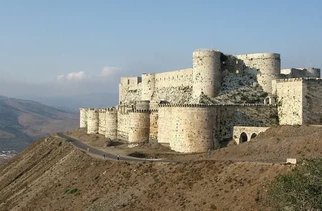
Homs Governorate: Separating City and Regional Research
Separate Homs city from governorate research with clear place names, dated regional photographs and practical ways to check the scope of your sources.
Read more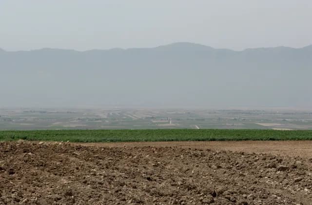
The Orontes Valley: Reading Central Syria Geography
Read the Orontes Valley through basin maps, dated landscape photographs and clear geographic scope before researching a specific place in central Syria.
Read more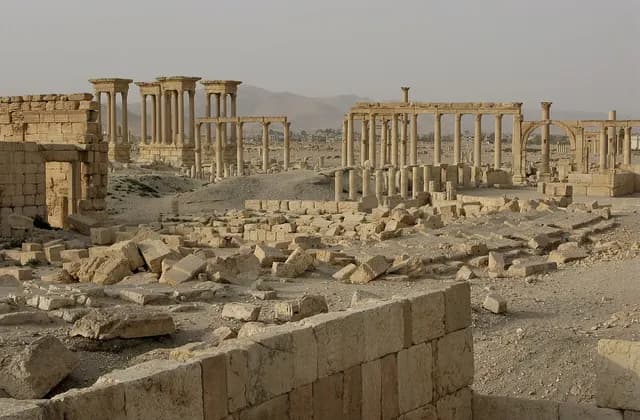
Palmyra: Understanding Its Archaeological Significance
Explore Palmyra through its urban plan, cultural significance, dated photographs and archaeological resources, separating historical views from current conditions.
Read more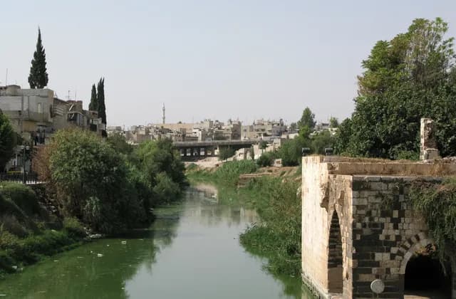
Hama: The Orontes and the City Landscape
Understand Hama through the Orontes, its waterwheels and dated city photographs, with clear distinctions between heritage records and property-specific evidence.
Read more