About Syria
The Orontes Valley: Reading Central Syria Geography
Read the Orontes Valley through basin maps, dated landscape photographs and clear geographic scope before researching a specific place in central Syria.
In this article
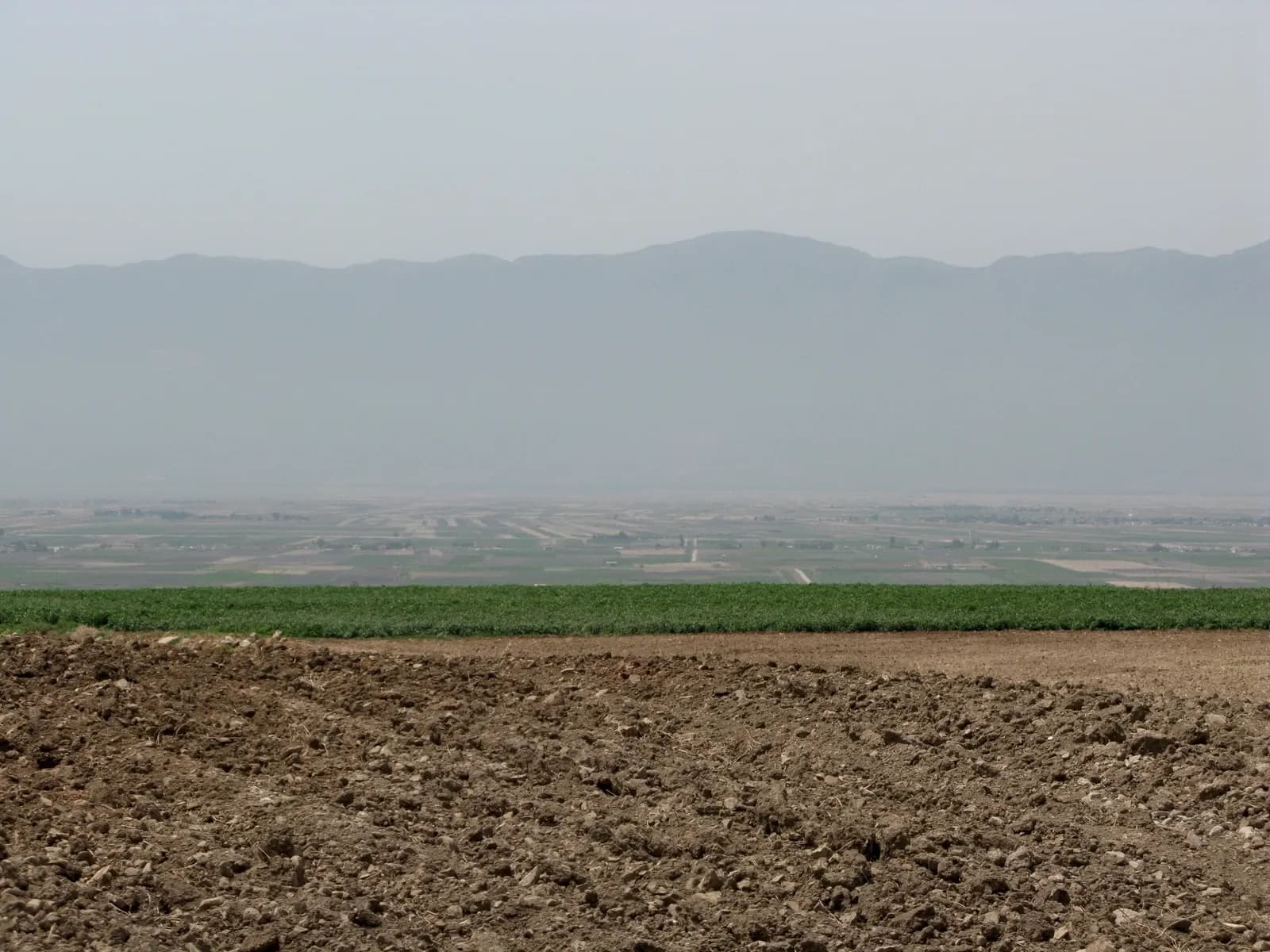

A river gives you a useful line to follow through a landscape. It does not give you a complete description of the places along it. When researching central Syria, the Orontes can help you connect names on a map, understand the relationship between towns and countryside, and spot when a source has changed its geographic scale. The useful first question is simple: does this page describe the river, its valley, its wider drainage basin, or a particular settlement?
Those terms are easy to treat as interchangeable when scrolling through search results. Keeping them separate makes your research more precise. You can appreciate the landscape while asking practical questions about an actual address, without expecting a regional photograph or a water resources report to answer them.
Follow the river before comparing places
The ESCWA–BGR Orontes River Basin inventory, published in its online version in 2012, describes a river whose course connects Lebanon, Syria and Turkey before reaching the Mediterranean. Its account places Lake Qattineh, the Homs Plain, Homs, Hama and the Ghab Valley along the Syrian part of that story. The basin map distinguishes the river itself from country boundaries, drainage boundaries and selected towns.
Treat this as a geographic framework with a publication date. The inventory's older water measurements and infrastructure descriptions should not be silently turned into current service information. Its value for an initial reading is that it helps you see how named places relate to a watercourse across a larger area.
Choose two or three familiar names and locate them before reading further. Resist filling the rest of the map with assumptions. A place that appears close to a river on a regional map may still require a much more detailed street map to understand its surroundings.
A valley and a basin answer different questions
Think of the valley as a way to describe a landscape shaped around the river. A drainage basin is a wider geographic frame for the land that drains towards a water system. An administrative boundary answers another question: which named territory does a record cover? These frames can overlap without being the same.
This matters when two sources use similar headings. One may discuss the Orontes Basin across national boundaries; another may focus on a historic settlement; a third may describe a governorate. Their figures are not automatically comparable just because the river appears in each document.
Write the frame beside each source in your notes. A short annotation such as “regional basin map” or “Hama city history” can prevent a surprisingly large misunderstanding later. If the source does not define its area clearly, keep that uncertainty attached to the information instead of guessing where its coverage ends.
Read the legend before the colours
A map can look immediately understandable and still be read incorrectly. Start with its title, publication date, scale and legend. Then trace one feature at a time. Find the river line first, identify the settlement symbols next, and only then look at the boundaries that organise the page.
Do not assume that a coloured area represents an administrative district. Equally, a line drawn for a water system does not establish the boundary of a private plot. The purpose of the map determines what its symbols mean, and its scale determines how much detail you can reasonably extract.
When a detail seems important to a possible home, record it as a question for a closer source. For example: “Which street is this entrance on?” is more useful than converting a broad map impression into a precise address. You can carry the question forward without pretending the first map answered it.

Look at the landscape without inventing a property story
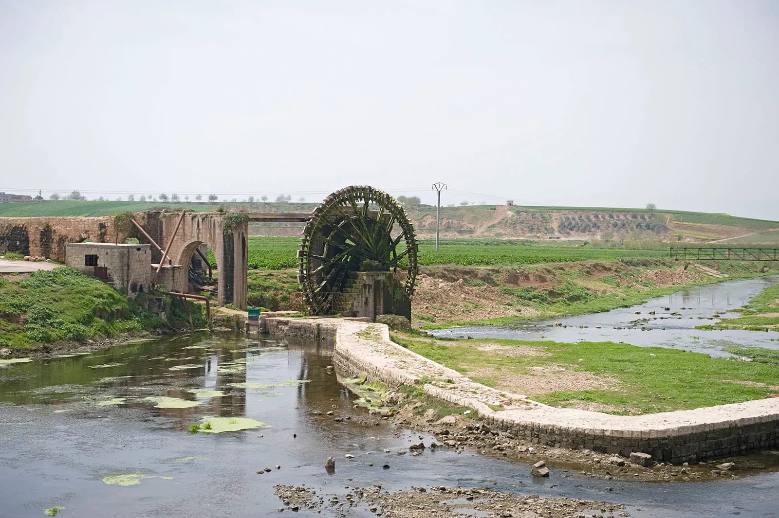
The two photographs accompanying this article show different parts of the landscape. Vyacheslav Argenberg's August 2008 view from Apamea looks across the Ghab Plain towards the coastal mountains. Dosseman's April 2009 photograph near Shaizar shows a waterwheel, stonework and the river at a much closer scale. Both are accurately credited archive photographs.
One image helps you notice the breadth of a plain; the other draws attention to the relationship between water and built structures. Neither identifies a home for sale, proves the present state of a riverbank, or describes today's water supply to a building. Keeping the dates visible lets the photographs contribute something real without making them carry claims they cannot support.
For a closer historical introduction, the National Museum of Denmark's Digital Hama places Hama in the Orontes Valley and presents material from the Danish excavation project. Our Hama city landscape guide follows that urban setting in more detail.
Bring a regional observation down to an address
Suppose your notes say that a possible home is “in the Orontes Valley.” That phrase gives you context, but it leaves the location unresolved. Ask for the settlement name, the neighbourhood or local area, the street or access description, and an identifiable map position. Keep the spelling supplied by the person who knows the address, including its Arabic form when available.
Next, separate the questions by evidence. A dated site photograph may show a view from a balcony. A visit can help you describe the approach to the entrance. A property document needs an appropriate professional review. A regional river map cannot stand in for any of those tasks.
Water deserves its own enquiry. Being near a river does not establish a building's supply arrangements or the suitability of water for a particular use. Our questions about water and electricity help you prepare a building-specific conversation. Any concern about flooding or drainage also needs suitable current local assessment rather than a conclusion drawn from an attractive riverside view.
Keep a small geographic reading file
You do not need an elaborate research system. Keep a page containing the place name, map reference, source date, geographic scope and the question that remains open. Add photographs with their capture dates beside them, rather than allowing old and new images to merge into an undated impression.
When moving between city and countryside, return to the scope note. Our Homs city guide offers another city-scale starting point. Read it alongside the broader river geography, then narrow your attention to the place you actually mean. The strongest result of this first stage is a clear location and a sensible next question.
Continue your research
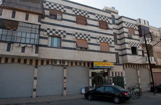
Homs: A City Guide for First-Time Property Researchers
Explore Homs through its streets, dated architecture photographs and urban research, then build an address-specific brief before comparing potential homes.
Read more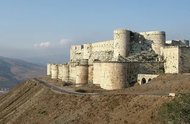
Homs Governorate: Separating City and Regional Research
Separate Homs city from governorate research with clear place names, dated regional photographs and practical ways to check the scope of your sources.
Read moreSources & review
Last reviewed:
PUT YOUR RESEARCH TO WORK
Start with a place.
Explore Syria’s cities and narrow your property search.