About Syria
Central Syria
Central Syria is a useful starting point for readers researching Homs, Hama and their wider surroundings. This section connects city streets, the Orontes landscape and the archaeological setting of Palmyra while helping you identify the scale of each source. Begin…
Read more
with a place you can name precisely, then decide which details belong to cultural orientation and which need current address-level evidence.
Homs and Hama should not be treated as interchangeable city labels. A home search needs the actual settlement and neighbourhood, followed by the entrance and building reference. If an advertisement uses a governorate name, establish whether the property is within the city or elsewhere in the administrative area. Ask for the Arabic name alongside any English spelling. This simple step makes photographs, map pins and conversations with local contacts easier to match, especially when several spellings appear in online results.
The first published guide in this section focuses on Homs through the needs of a first-time property researcher. It uses actual archive photographs of buildings rather than suggesting a whole city can be understood from one monument. Look at how windows, balconies, entrances and shopfronts relate to the street. Those observations can produce a useful viewing question: which entrance serves the apartment, what is shared, and how does the upper floor meet the activity below? They cannot confirm structural soundness or establish the current use of a photographed building.
The independent photograph attached to this category records a Homs streetscape before the conflict. Its role is to introduce the built setting, with its capture date and reuse information visible alongside it. An archive view is a reference for looking closely, not a present-day inspection. A reader interested in a particular address should obtain recent dated images that identify that entrance and unit. If a seller sends a beautiful street photograph, ask whether it shows the same block and when it was captured before adding it to a property file.
UN-Habitat's May 2014 Homs City Profile is one starting source for understanding the city's older urban research. It reviewed housing, economic activity and services for humanitarian and recovery planning. Its findings belong to that period. It should not be read as a current account of building conditions or as a list of neighbourhoods recommended for buyers. The useful lesson is its scope: housing sits within a wider urban system, so a property researcher should investigate the home and the surroundings together. Source: https://unhabitat.org/city-profile-homs-multi-sector-assessment.
The Old City profile provides a narrower perspective, covering nine Old City neighbourhoods and three adjacent neighbourhoods. That specific study area matters when interpreting the evidence. A statement about an area in the report cannot automatically be applied to another street, let alone a different town. Record a source's date and mapped extent before using it. Then write down the question it leaves open for your current search, such as the condition of a shared entrance or the arrangements for building services today. Source: https://unhabitat.org/neighbourhood-profile-old-city-of-homs.
Hama and the Orontes provide a different geographical lens. A river or a distinctive streetscape can help orient a map, but a landscape image does not establish the environment inside an apartment. For a specific home, investigate the window outlook, the route to the entrance and any relevant condition questions independently. Do not infer a property's exposure to moisture, quality of utilities or repair needs from a city-level description of its surroundings. Technical concerns belong with qualified professionals examining the actual building and the relevant evidence.
Palmyra needs another distinction: an archaeological site and a settlement label are related pieces of geography, not identical subjects. UNESCO's Site of Palmyra record explains the significance of the inscribed archaeological place. It supplies a cultural starting point for reading central Syria, not ownership evidence for nearby homes or a statement about visitor arrangements today. Where a property description refers to a heritage site, identify the exact address and have a local adviser check the records and requirements affecting that building. Source: https://whc.unesco.org/en/list/23/.
For practical regional research, build a small route record. Name the starting address, the destination that matters to you and how you expect to travel between them. Ask for current local information about the final approach rather than relying on an old journey time. For someone comparing remotely, a continuous dated recording from the street to the door can help reveal what individual interior images omit. It remains an observation tool, and unresolved access or condition questions should stay visible until appropriate checks answer them.
The value of this section is the movement between scales. Read a city guide to understand its subject, examine a map to locate the proposed address, and use the Investment Handbook to prepare property-specific questions. Keep cultural impressions in your notes, but place dated observations and document findings beside them. You should finish the regional stage knowing where the candidate home is, why that setting fits your needs and what must still be checked. That is a stronger foundation than a general claim that an entire city or region is the right place to buy.
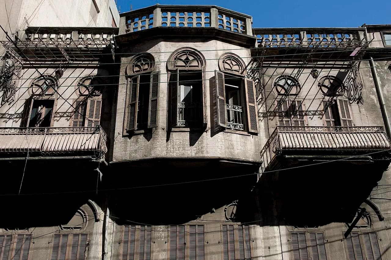

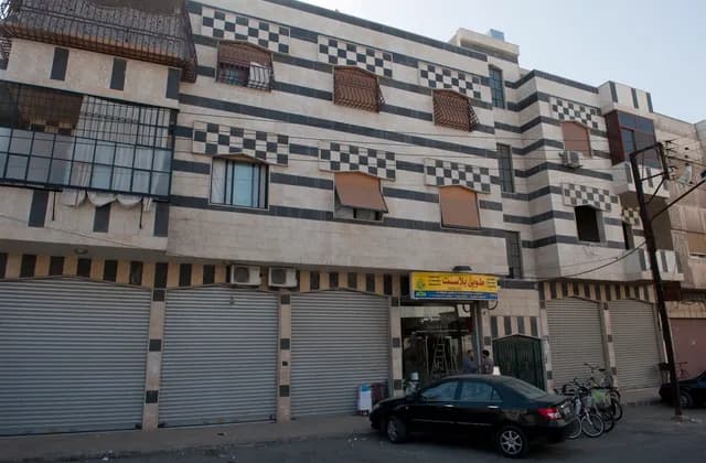
Homs: A City Guide for First-Time Property Researchers
Explore Homs through its streets, dated architecture photographs and urban research, then build an address-specific brief before comparing potential homes.
Read more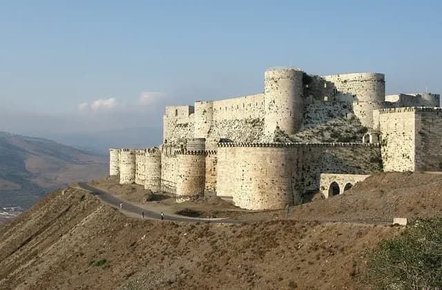
Homs Governorate: Separating City and Regional Research
Separate Homs city from governorate research with clear place names, dated regional photographs and practical ways to check the scope of your sources.
Read more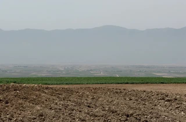
The Orontes Valley: Reading Central Syria Geography
Read the Orontes Valley through basin maps, dated landscape photographs and clear geographic scope before researching a specific place in central Syria.
Read more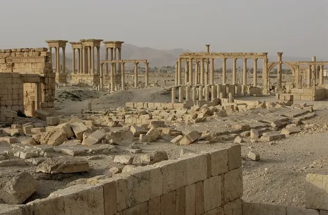
Palmyra: Understanding Its Archaeological Significance
Explore Palmyra through its urban plan, cultural significance, dated photographs and archaeological resources, separating historical views from current conditions.
Read more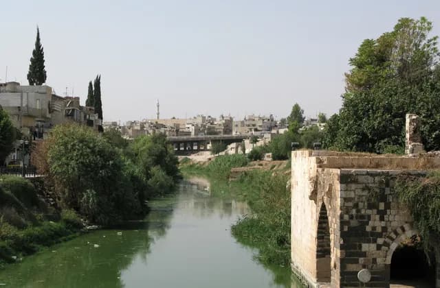
Hama: The Orontes and the City Landscape
Understand Hama through the Orontes, its waterwheels and dated city photographs, with clear distinctions between heritage records and property-specific evidence.
Read more