About Syria
Coast and East
Coast and East brings together two different directions for researching places in Syria: coastal settings and locations farther inland to the east. It is an editorial grouping for browsing this library, not an official region, an administrative boundary or a…
Read more
claim that these places form one property market. Use it to find a starting point, then narrow your enquiry to the named settlement and address you actually mean. The landscape can help explain your interest in a place; the details of a particular home still need their own evidence.
A useful way to begin is to write down the feature that caught your attention. Perhaps it was a sea horizon, a riverside photograph, a family connection or the name of a town in an old document. Each provides a different entry into the research. Do not turn that first impression into a complete account of local life. Instead, ask what you would need to identify the place clearly and what matters to the household considering it. A regional label becomes useful when it leads to a better question about somewhere specific.
For a coastal search, separate the water in the view from access to the shore and from the immediate street around a building. A home can have a distant outlook towards the sea without opening directly onto a waterfront. A harbour image may show industrial activity rather than a leisure frontage. The description attached to the photograph should tell you which setting you are looking at. When the distinction matters, ask for an image of the exact opening and an address-specific account of the route from the entrance. This avoids allowing an attractive horizon to stand in for the whole location.
The Latakia guide offers a city-scale starting point within this category. Its two photographs show contrasting subjects: ordinary urban blocks and the working harbour, both with explicit archive dates. UN-Habitat's City Profile Lattakia catalogue identifies the Mediterranean setting and describes its study as combining an earlier baseline with a crisis assessment. The associated profile dates from June 2014. This is a historical research reference, not a present survey of neighbourhood services or housing. Read the article with that date in mind, then put current questions about a proposed home in a separate file.
When researching a place farther east, use the same care with scale but allow the questions to change. A river, a settlement name or an inland road may be the feature used to describe the area. Establish whether your source refers to the city, a larger governorate, a historic site or a landscape extending beyond the settlement. A river photograph does not establish the supply to a building, a safe crossing or access to a particular bank. A road visible in an archive image does not describe a journey today. Keep these distinctions attached to the source rather than trying to resolve them from the regional heading.
Place names deserve a little patience. Store the original Arabic form alongside the English spelling supplied by the source or the person describing the address. If two records use different transliterations, check whether they identify the same place before merging their information. Keep a governorate name, a town or village name and a neighbourhood or street description as separate entries. Where the source gives only a broad label, mark the location as unresolved. That is more useful than assigning it to the nearest familiar city and carrying the guess into later comparisons.
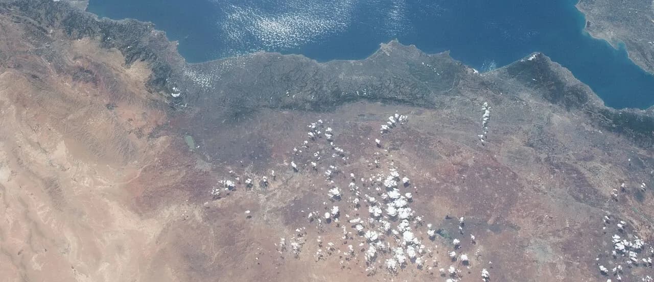
The photograph accompanying this category offers another scale entirely. It is a cropped view from NASA frame ISS056-E-5974, taken on 9 June 2018, showing part of Syria's Mediterranean coast and the landscape inland. NASA's original frame record covers a much wider scene including Cyprus and neighbouring land areas. The published crop is credited and accurately described as a space photograph. It does not map every place in this category, show an address or establish present conditions on the ground. Use it to appreciate the relationship between coastline and interior, then return to a suitable detailed map for a particular enquiry.
A small source notebook can keep the different scales manageable. For each item, record the place named, the geographic area covered, the publication or capture date and the reason you saved it. Add one sentence about what it leaves unanswered. A city profile may provide background; a heritage record may explain a site's historical importance; a recent address-specific photograph may help you prepare a viewing. None should quietly inherit the purpose of another. The quality of the research improves when you can explain why a source belongs in the file.
For a possible home, bring the research down to an ordinary day. Name the destinations the household expects to reach, the entrance it would use and the services it needs to understand. Ask what current observations or enquiries could answer those questions. Avoid adopting a journey time, noise description or service claim simply because it sounds plausible for a coastal city or an inland town. A clear destination and a dated observation give a comparison something concrete to work with; a regional impression gives it much less.
Read the city and landscape articles for orientation, then use the Investment Handbook to organise the property questions that follow. The regional reading stage should leave you with a more precise place name, a better understanding of the sources and a short list of matters to check. You do not need to rank every coastal or eastern location before moving forward. You need to understand why a particular place belongs in your search, what is known about the actual address, and which questions remain open before a property decision.
_-_Orontes_River_-_Lake_Homs_-_Hama_-_Antakya_-_Gulf_of_Alexandretta_-_Iskenderun_-_Aleppo_(cropped).jpg)
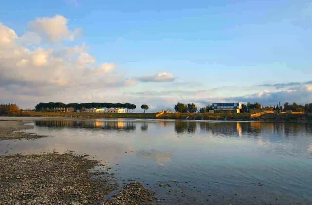
Raqqa and Al-Hasakah: Starting Your Regional Research
Start Raqqa and Al-Hasakah research with clear geographic scope, dated photographs and place-name records before comparing evidence for specific homes.
Read more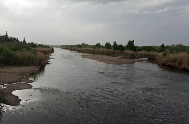
Deir ez-Zor and the Euphrates: Geographic Context
Locate Deir ez-Zor through dated river photographs and urban research, then separate geographic context from the address and access evidence a home needs.
Read more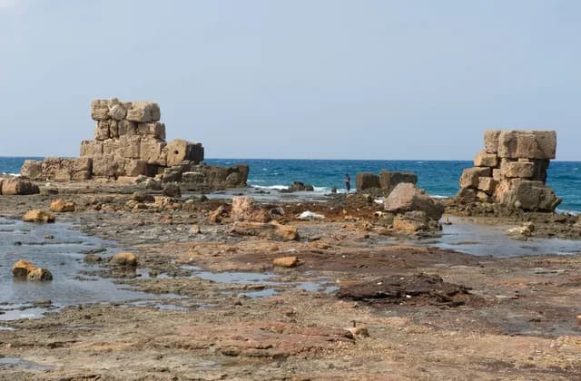
Arwad: Understanding the Island and Its Mainland Connections
Understand Arwad through dated island photographs and heritage sources, with practical questions about mainland connections and a specific home.
Read more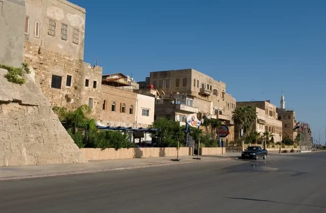
Tartus: The Waterfront and Historic City
Explore Tartus through historic stone frontages and dated waterfront photographs, then identify the address and evidence needed to research a particular home.
Read more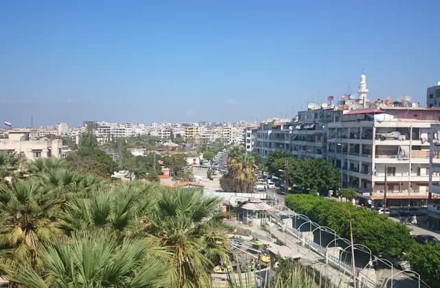
Latakia: A Guide to the City and Its Coastal Setting
Explore Latakia through dated city and harbour photographs, distinguish sea views from waterfront access, and prepare address-specific questions for a home.
Read more