About Syria
The Citadel of Aleppo: A Guide to Its Setting
Understand the Citadel of Aleppo in its historic urban setting, read dated views and UNESCO maps accurately, and separate landmark context from property evidence.
In this article
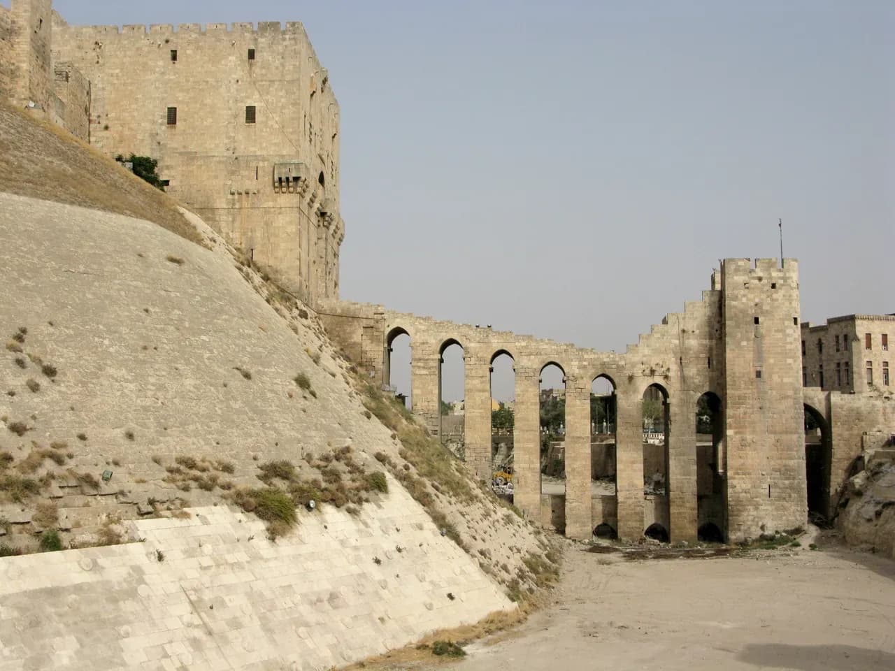

From a distance, the Citadel of Aleppo can appear to be a single stone landmark on a raised mound. At street level, it becomes a sequence of relationships: the slope, the ditch, the bridge and gate, and the old city around them. That change in scale is the useful starting point for anyone trying to understand a photograph, a map or an address described as “near the citadel.” The monument is a strong orientation point, but it is not a shorthand for the condition or character of every building around it.
Look outward as well as up
UNESCO's Ancient City of Aleppo record places the citadel within a wider urban ensemble. It describes the fortification rising above the markets, mosques and religious schools of the old walled city. The surrounding lanes and buildings matter to the World Heritage description, too. This is why a useful first map has two scales: one that shows the citadel in relation to the historic city, and another that can identify the exact street and entrance being researched.
Do not let a map pin labelled “Citadel of Aleppo” become a property pin. If a listing says it is nearby, ask for the building's own location and a route from its entrance to the landmark. Put the route on a current map, then ask someone locally to verify it at the time a visit is being considered. A straight-line distance can ignore turns, access points and the practical details of a particular journey. It also says nothing about what can be seen from a room.
UNESCO's maps page provides the inscribed property's mapping record. That boundary helps a reader understand the heritage site's scale; it cannot determine the status of a proposed private transaction. An address close to a heritage place may raise questions about the building and its surroundings that require current local records and qualified advice. Do not infer permitted work, ownership or market value from proximity to a World Heritage site.
Read the approach as a sequence
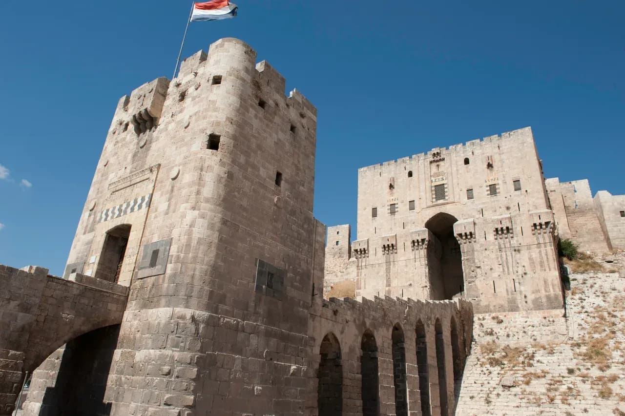
The citadel's approach is part of its visual identity. UNESCO points to the encircling ditch, the sloping stone-faced outer works, the gateway and the entry bridge as an architectural ensemble. A 2008 photograph by Vyacheslav Argenberg records the steep stone-faced slope and arched bridge, while Dosseman's 2010 view brings the entrance towers into focus. The two views answer different spatial questions: one shows how the approach crosses the lower ground; the other shows the fortified gateway. Neither is a photograph of present conditions.
When comparing images, note the photographer, date and direction of view. Identify the features that remain visible in both images, then mark anything you cannot establish. An image taken from a rooftop may make the citadel look very close even if the route from the building entrance is less direct. A cropped listing photograph may omit the street below or the adjacent buildings. Ask for an uncropped, dated image from the actual property if an advertised view is part of your decision.
The same discipline works when you visit. Start where a resident would start, at the building entrance. Record the approach to the street, then the route relevant to the household or proposed use. Add photographs of junctions and a note of the time of day. This is not a claim that the route is convenient, safe or open at other times; it is a record of what was observed on one visit.

Separate heritage evidence from property evidence
The citadel's long history can make the surrounding area compelling, but a historic designation does not inspect a nearby apartment. Keep three folders. The first holds verified background material such as the UNESCO description and maps. The second holds dated images of the area and route. The third holds property-specific evidence: plans, documents, interior photographs, observed defects and questions for advisers. Mixing these folders makes it too easy for a beautiful city photograph to stand in for a missing building survey.
For the building itself, use a repeatable viewing checklist. Note the condition of rooms, openings, roof areas and shared spaces without diagnosing what a photograph cannot show. If an older facade, courtyard or altered interior is central to the property's appeal, ask a qualified professional to assess its actual fabric and any proposed work. The shared-area inspection guide is particularly useful for buildings with common entrances or roofs.
Paperwork needs its own review. Compare the offered address, boundaries and described spaces with what you saw. If the proposal includes a roof room, courtyard, cellar or other space, ask how it is recorded and who can substantiate the claim. An independent Syrian property lawyer can identify the records and advice needed for the specific transaction. The ownership review questions help prepare for that conversation; they do not determine a legal outcome.
Keep the archive date visible
The Ancient City of Aleppo has been on UNESCO's List of World Heritage in Danger since 2013, as the site's current record states. That fact makes dated evidence especially important. A pre-2013 image is useful for understanding the earlier appearance of a place, but it must not be presented as a current description of the surrounding streets, public access or a property's condition. Nor should a general news image be used to infer the position of a particular home.
For an actual shortlist, request current, property-specific photographs and document when they were made. Check the relevant local guidance and conditions close to any proposed visit. If an answer matters to your decision, seek it from the appropriate current source rather than extrapolating from an archive caption. Keep uncertainty in the note instead of filling it with an attractive but unsupported story.
Finish with an address, not a landmark label
The citadel can help you orient yourself in Aleppo's historic city, and UNESCO's account explains why its setting extends beyond the monument. A sound property note ends more narrowly: one exact address, a route checked on a date, building observations, identified documents and a list of unresolved questions. For the wider city context, see our Aleppo historic city guide. Use the citadel to understand the map; use direct evidence and local professional review to understand a property.
Continue your research
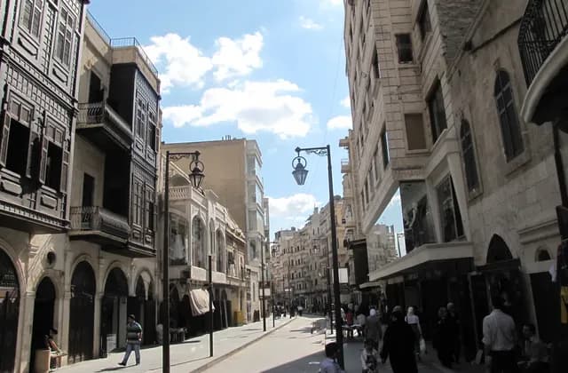
Researching Neighbourhoods in Aleppo Before Choosing a Home
Research Aleppo neighbourhoods from the exact address outward, using dated evidence and independent building checks instead of district reputations or archive images.
Read more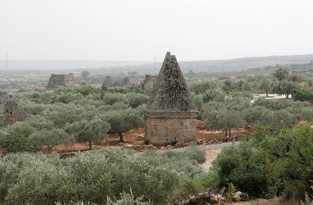
Northern Syria Ancient Villages: Understanding the UNESCO Site
Understand the eight-part UNESCO Ancient Villages site, conservation status and archive imagery while separating heritage context from a specific property decision.
Read moreSources & review
Last reviewed:
PUT YOUR RESEARCH TO WORK
Start with a place.
Explore Syria’s cities and narrow your property search.