About Syria
Idlib Governorate: Historic Places and Location Research
Research an Idlib Governorate address with accurate historic context, clearly dated archive photographs, and a separate record of current property evidence.
In this article

An address described simply as “in Idlib” leaves a surprisingly large question unanswered. It may refer to the city, another town in the governorate, or a rural place whose familiar name is also used for a nearby archaeological site. The useful first step is to identify the exact locality and the building, then keep historic context in a separate column from present property evidence. A photograph of an old market or a ruined village can help locate a story; it cannot describe a home available today.
Start with the place name, then narrow the map
The city of Idlib, Ma'arrat al-Numan, and Serjilla are different places. A regional search can put them together on one screen, but they answer different questions. Ask for the governorate, district, town or village, street description and a pin for the actual entrance. Save the spelling used in the advertisement alongside any Arabic name on documents. Transliteration varies: Idlib and Idleb, or Ma'arrat al-Numan and Maarat al-Nouman, may appear in different records. A matching name is a lead for checking, not proof that two pins identify the same building.
Use two maps. The first should show the proposed location within the governorate and its route to the places that matter to the household. The second should be close enough to distinguish the building entrance from an adjacent parcel or landmark. Record where each map came from and when it was last updated. If the map is old, mark it as background. Ask a local contact to check an exact route near the date of any proposed viewing, rather than treating a straight-line distance or an archival road map as a current journey.
The Aleppo historic city guide shows a similar distinction between a regional landmark and a precise urban address. Apply the same discipline in Idlib even when the listing provides a recognizable historic name.
What the historic record can actually tell you
UNESCO's Ancient Villages of Northern Syria record describes about forty villages across eight archaeological parks in the limestone massif of northwestern Syria. The nomination's advisory evaluation places the serial site across the Aleppo and Idleb governorates. It is therefore inaccurate to describe the entire World Heritage property as an Idlib site, or to assume every place commonly called a “Dead City” is the same location. UNESCO's component maps are the appropriate starting point for identifying a particular component and its wider setting.
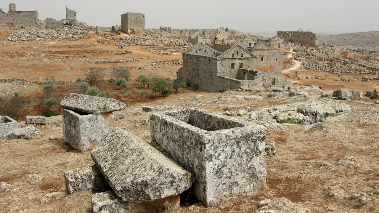
Serjilla provides a concrete example. Vyacheslav Argenberg's photograph, dated 23 August 2008 and identified by its Commons record as Serjilla in Idlib, shows limestone remains in a rural landscape. It illustrates the region's archaeological character at that date. It does not establish today's access, conservation condition, nearby services or the legal status of any neighbouring land. UNESCO's listing likewise describes the heritage ensemble, not a private building offered for sale.
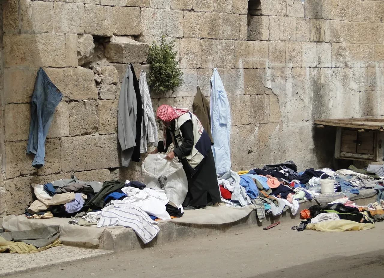
Historic towns have a different visual record. Bernard Gagnon's photograph of a clothing stall in a Ma'arrat al-Numan market is dated 3 April 2010. It captures one small scene rather than a general view of the town. It must remain labelled as an archive view. A present-day enquiry needs dated photographs of the actual street and building, taken or verified close to the decision date. Do not use the market image as evidence that a shop, road, home or service remains in the same condition.

Keep heritage boundaries and property boundaries separate
A map of an archaeological park is drawn for heritage purposes. It may show the nominated area and named components, but it does not supply a private parcel plan, prove ownership or determine what works may be permitted on a specific building. If a property is said to be near a protected place, request its exact parcel and address information and ask a qualified local adviser which current records apply. Do not infer a rule from the colour of a tourism map.
For an ordinary home, the evidence file should begin with the offered address, a dated pin, photographs of each elevation and room, any plan supplied by the seller, and a list of spaces claimed to be included. Compare those items with the documents an independent Syrian property lawyer asks to see. Our ownership review questions provide a way to organise that discussion; they do not settle ownership or permission.
Be especially careful with an appealing phrase such as “views of the ancient villages.” Identify the room or terrace from which the view is claimed, its direction, and a current unedited image from that position. Then ask what the description actually means. Seeing a distant hillside is a different claim from being within a particular archaeological component, and neither establishes the condition of the home.
Make the visit useful even if plans change
Before travelling or commissioning a local viewing, make a short evidence request. Ask for the building's exact location, the date of the images, an uninterrupted video from the entrance through the main rooms, and photographs of the roof, shared areas and surrounding street where access is appropriate. Record questions about water, electricity, drainage and access as questions to verify on site; a regional report or neighbour's recollection is not a property-specific service test. The viewing checklist helps keep the observations consistent.
If a visit is proposed, use current local advice for route and access conditions. UNESCO's 2026 documents index shows that conservation reporting continues, but an international heritage update is neither travel guidance nor a street-level inspection. Do not turn a general statement about the governorate into a promise that a route or site is accessible on a specific day.
At the viewing, note what was actually seen, from which position and at what time. A wet patch, a blocked window or an unmarked access way should become a question for the relevant professional, not an instant diagnosis. For an apartment, the shared-area inspection guide helps distinguish the condition of the unit from the entrance, stair, roof and other common parts.
End with a short, testable location note
The strongest location note for Idlib is not a paragraph of regional adjectives. It is a small set of verifiable fields: exact locality and address; map source and date; property photographs and dates; a route checked for the intended journey; the historic references that explain the setting; and open questions about the building, documents and services. Keep the old market and Serjilla images labelled as archives. The purpose of researching historic places is to understand where the proposed home sits, while leaving the decision about that home to current, direct evidence.
Continue your research
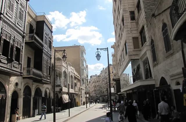
Researching Neighbourhoods in Aleppo Before Choosing a Home
Research Aleppo neighbourhoods from the exact address outward, using dated evidence and independent building checks instead of district reputations or archive images.
Read more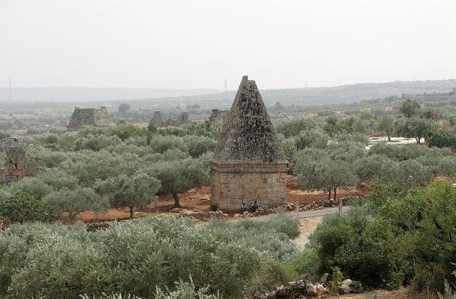
Northern Syria Ancient Villages: Understanding the UNESCO Site
Understand the eight-part UNESCO Ancient Villages site, conservation status and archive imagery while separating heritage context from a specific property decision.
Read moreSources & review
Last reviewed:
PUT YOUR RESEARCH TO WORK
Start with a place.
Explore Syria’s cities and narrow your property search.