About Syria
Northern Syria Ancient Villages: Understanding the UNESCO Site
Understand the eight-part UNESCO Ancient Villages site, conservation status and archive imagery while separating heritage context from a specific property decision.
In this article
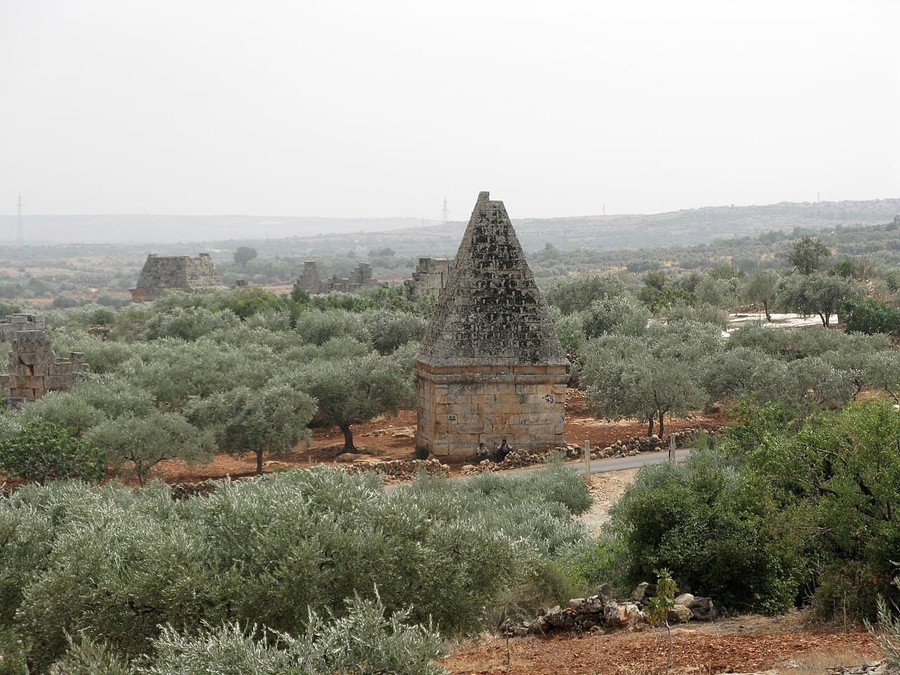

The Ancient Villages of Northern Syria are a World Heritage property, but that name does not describe one village, one town, or a property market. UNESCO's inscription covers about forty ancient settlements grouped into eight archaeological parks across the limestone uplands of northwestern Syria. For someone looking at an address nearby, the listing is useful for understanding a landscape and its history. It cannot tell you whether a particular home is inside a protected area, what repairs are allowed, or what the road looks like today. Start by identifying the exact place named in the advertisement, then check heritage and property records as separate questions.
A collection of places, not a single destination
UNESCO's site record describes villages that developed from the first to the seventh centuries and were largely abandoned between the eighth and tenth centuries. The surviving remains include houses, churches, baths, cisterns and features of agricultural land. The site's value lies partly in how those pieces fit together across a rural landscape. A photograph of one standing façade is striking, yet the surrounding field patterns and water works are part of the story too.
The eight components are not interchangeable. UNESCO's component map and coordinate table names groups in Jebel Sem'an, Jebel Zawiye, Jebel al-A'la, Jebel Barisha and Jebel Wastani. The wider nomination spans areas associated with both Aleppo and Idlib governorates. If a listing says simply “near the Dead Cities,” ask which named component it means and request a precise pin for the offered building. That phrase alone is too broad for a travel plan, let alone an assessment of a property's position relative to a heritage boundary.
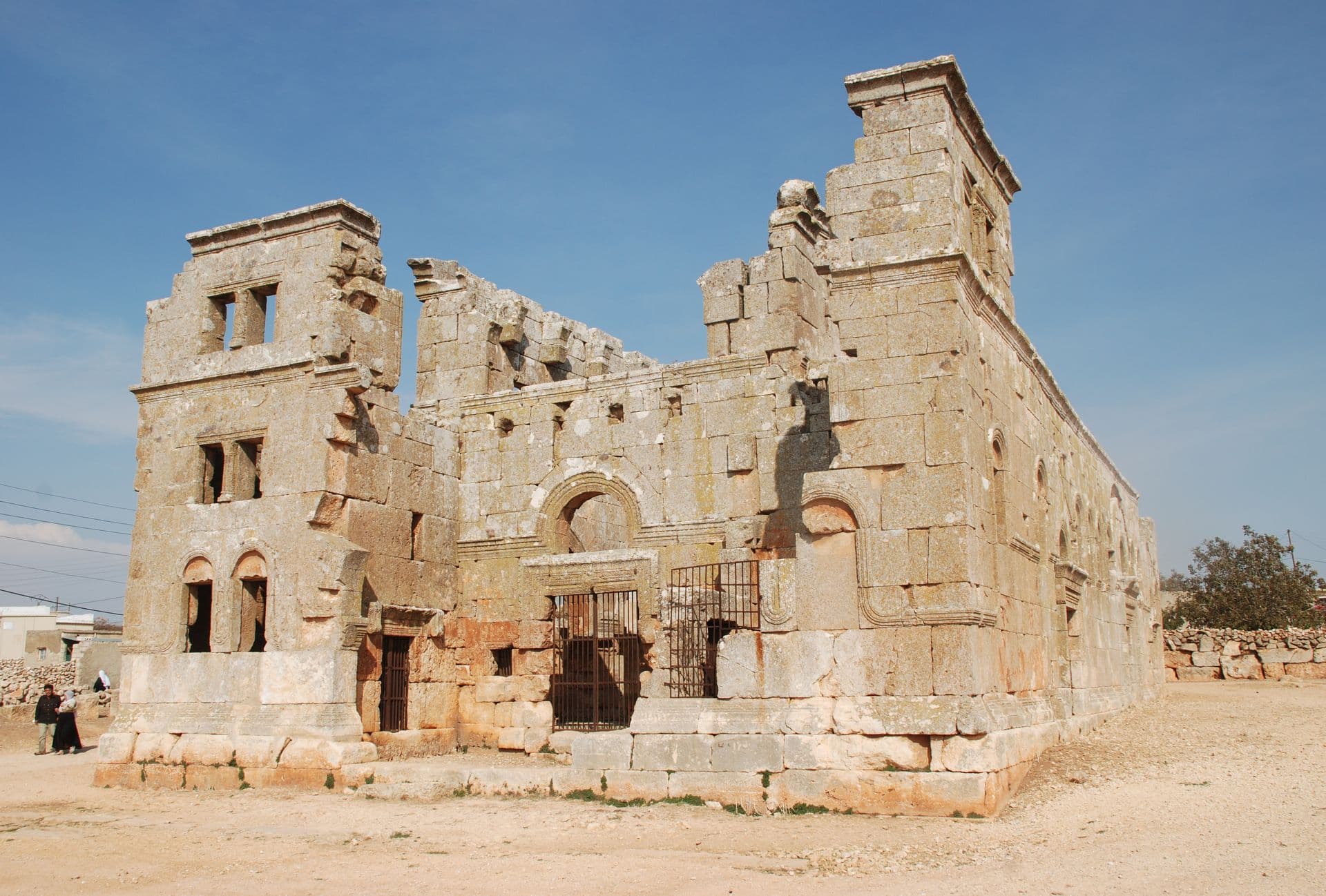
Serjilla, Al-Bara and Qalb Lozeh appear frequently in photographs of the region. They are distinct places. The 2008 Serjilla archive photograph discussed in our Idlib guide illustrates the older stone settlement at one point in time. It should not be read as a current picture of another component or of an available dwelling.
What World Heritage recognition actually means here
UNESCO inscribed the serial property in 2011 under three criteria. Its statement of Outstanding Universal Value points to testimony of rural life, the architecture of houses and communal buildings, and the relationship between farming, water and limestone terrain. Those are heritage judgments about the ensemble. They do not certify an individual structure as sound, assign private title, or tell a buyer what use of a parcel would be lawful.
It helps to keep three maps in different folders. The UNESCO map identifies the World Heritage components and their nominated areas. A current street or satellite map can help locate a proposed building and approach route, subject to its own date and accuracy. A parcel or ownership record, obtained and interpreted through the appropriate local process, addresses a different question again. Do not substitute one map for another because their outlines happen to overlap on a screen.
If an address appears close to one of the eight components, record the source and date of the heritage map, the coordinates of the building entrance, and the claimed parcel reference. Ask a qualified local property lawyer or heritage specialist to verify the applicable records and any approval process before assuming that repair, construction or commercial use is possible. The ownership review guide gives a practical way to assemble questions for an independent adviser; it does not establish a rule for this site.

Read an archive image with its date attached
Photographs can make these villages easier to recognise, especially when place names have several spellings. An Al-Bara view from 2012 and a Qalb Lozeh church view from an archive are photographs of real places, but neither is a live condition report. Their captions need the named site, photographer or collection, image date if available, and licence. A stone wall visible in an older image may have changed; a path outside the frame may not have been shown at all. Never turn an archival image into evidence that a present-day listing overlooks a preserved monument or has usable access.
Before comparing photographs, match the exact site and camera position. “Northern Syria” is not a sufficient location label. Look for recognizable structures, the direction of view, and a record that identifies the image. Then compare only with a dated current photograph or verified visit of the same place. Even a convincing visual match answers a limited question about appearance. It does not answer questions about structural condition, ownership, utilities or safe access to a separate residential building.
The Idlib location guide shows how to keep an archaeological image apart from an offered address. The same caution applies if a marketing description uses the word “historic” without naming a mapped component. Ask for a pin and the exact basis of the claim rather than repeating it in your own notes.
Conservation status is a reason to verify, not to guess
The World Heritage property has appeared on UNESCO's List of World Heritage in Danger since 2013. In its 2025 decision, the World Heritage Committee reported concern about extensive conflict-period damage and worsening conditions at several components, called for systematic condition assessments, and retained the property on the danger list. That is a serious conservation signal. It is not a site-by-site assessment of every path, building or neighbouring home, and it does not establish the condition on the day of a proposed visit.
For a decision made now, check UNESCO's documents index for later formal reporting, and obtain current local information from people responsible for the specific location. Keep the date of each source visible. A conservation report, a map, a recent street photograph and a building inspection have different purposes. If those sources disagree, preserve the disagreement as an open question rather than choosing the most reassuring version.
There is also an ethical reason for precision. The ancient villages are cultural places and lived surroundings, not a decorative label for a sales pitch. Do not market a private home as part of a UNESCO site without documented evidence of its exact location and the applicable status. Avoid implying that international recognition brings a guaranteed premium, tourist access or permission to alter a building. None of those conclusions follows from inscription.
A useful research file for a nearby property
Write a one-page note with four headings. Under **place**, put the Arabic and English spellings, exact coordinates and the named heritage component, if one is claimed. Under **source**, put links to the UNESCO record and map with the date you consulted them. Under **property**, list the offered address, current dated images, parcel references and documents for a local professional to check. Under **unknowns**, list access, present condition, boundaries, services and any proposed work that has not been verified. This prevents heritage context from quietly becoming a property claim.
For a viewing, use the practical viewing checklist to record what was actually seen at the building. Note the route taken and the date, but avoid treating a single successful trip as a promise of ongoing access. If plans involve alteration, obtain advice on the exact parcel and proposed works before budgeting around an assumed approval. The UNESCO record can help you ask sharper questions about the setting; only current, property-specific evidence can help answer them.
Continue your research
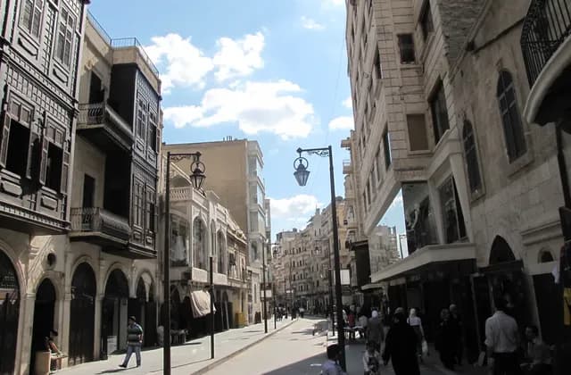
Researching Neighbourhoods in Aleppo Before Choosing a Home
Research Aleppo neighbourhoods from the exact address outward, using dated evidence and independent building checks instead of district reputations or archive images.
Read more
Idlib Governorate: Historic Places and Location Research
Research an Idlib Governorate address with accurate historic context, clearly dated archive photographs, and a separate record of current property evidence.
Read moreSources & review
Last reviewed:
PUT YOUR RESEARCH TO WORK
Start with a place.
Explore Syria’s cities and narrow your property search.